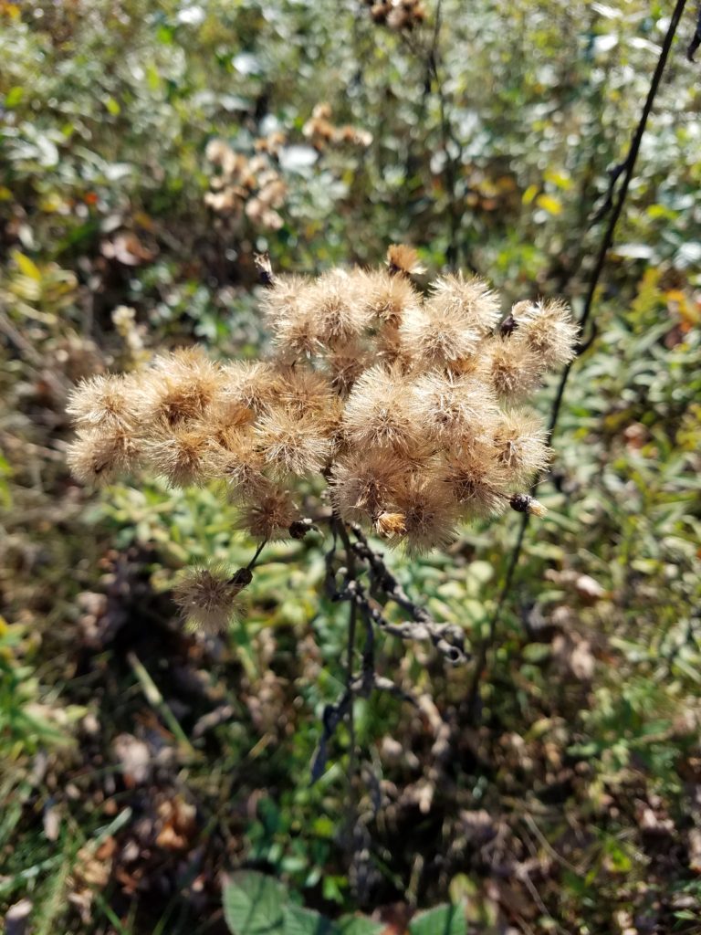
Slate Run Metro Park is a hidden gem in the Columbus area as it has so much to offer. It is highlighted by the relative quiet that you can experience in terms of traffic and visitors not far from an urban center.
Slate Run Metro Park is located in Canal Winchester, about 20 minutes southeast of downtown Columbus. While not far from the city, it has a uniquely rural feel. Visitors get a bit of reprieve from being in a population center. You are greeted by options to visit wetlands, tree-covered trails, and even an historic living farm! With diverse experiences to be had, Slate Run offers something new with each visit!
Slate Run Metro Park Map
This map of Slate Run Metro Park shown below shows a variety of park entrances. The main entrance is located along the right side of the map which is off of State Route 674 (you can GPS 1375 State Route 674 North, Canal Winchester, OH 43110).
From here, you can access many of the parks trails and features. These include the Buzzard’s Roost Lake, the Parks Historic Covered Bridge, the Shady Grove Picnic Area, and the Slate Run Living Historical Farm.
Accessible from Winchester Road (on the left side of the map at 11140 Winchester Road, Ashville, OH 43103) is the Slate Run Metro Park Wetlands area, a Wildlife Refuge and Natural Resource Conservation Area. While you can access the Kokomo Wetland Trail via a connector trail from the main area of the park, there is a parking area available at the Wetlands area which gives you closer access to the Wetland Trail and boardwalk.
The park has a pedestrian and bicycle entrance at the bottom of the map (on Mercy Road). There are also two entrances near the top of the map for Camp Starview (off of Neiswander Road) and for access to the Horse Trail (off of Duvall Road).


Our Favorite Slate Run Metro Park Trails
Lake Trail
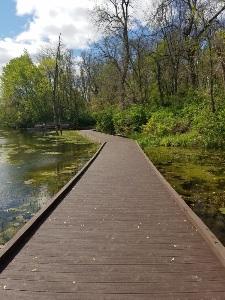
From the Main entrance, you can drive to the deepest parking area which puts you right next to the Buzzard Roost Picnic Area. The picnic area provides close access to the Buzzard’s Roost Lake which features a lovely boardwalk and deck area to observe wildlife on the lake.
The Lake Trail is an easy stroll at 0.4 miles. It is flat and mostly boardwalk. There are areas of the boardwalk over the water that do not have railings. The boardwalk, however, is broad and sturdy, so I didn’t feel insecure walking at any point. I have also seen young children (and new, toddler walkers) that navigated the boardwalk with no issues.


Covered Bridge Trail
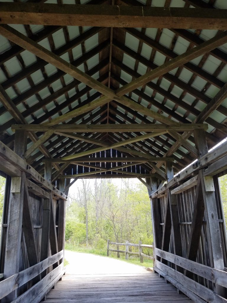
When visiting the Lake Trail, you can easily explore the Covered Bridge Trail as well. Accessible from the same parking area, you can walk a short distance on the Sugar Maple Trail (near the Buzzard Roost Picnic area, and access the Covered Bridge Trail on the far end of the small prairie area.
The Covered Bridge Trail features the Blackburn Covered Bridge which was originally built in 1885. Check out our post about this and other Covered Bridges in Central Ohio. We have recently been enamored of Covered Bridges in the area, and this is a peaceful setting to experience one. The hike is relatively flat, and short (0.5 miles), and you can extend your hike along the Shagbark Trail which connects along the loop in the grassy area of the trail.


Five Oaks Trail
The Five Oaks Trail is my personal favorite in the park! This trail is easily accessible from the parking lot by the Shady Grove Picnic Area. While this is a slighly more difficult walk than the Lake Trail and Covered Bridge Trails, you are walking among the trees during almost all of the 1.5 mile hike.
One of my favorite features along this trail is the Natural Play Area that greets you early on if you walk counter-clockwise around the loop. This open area highlights the best of space, trees, and water landscapes and feels as if you are a long way from city life.
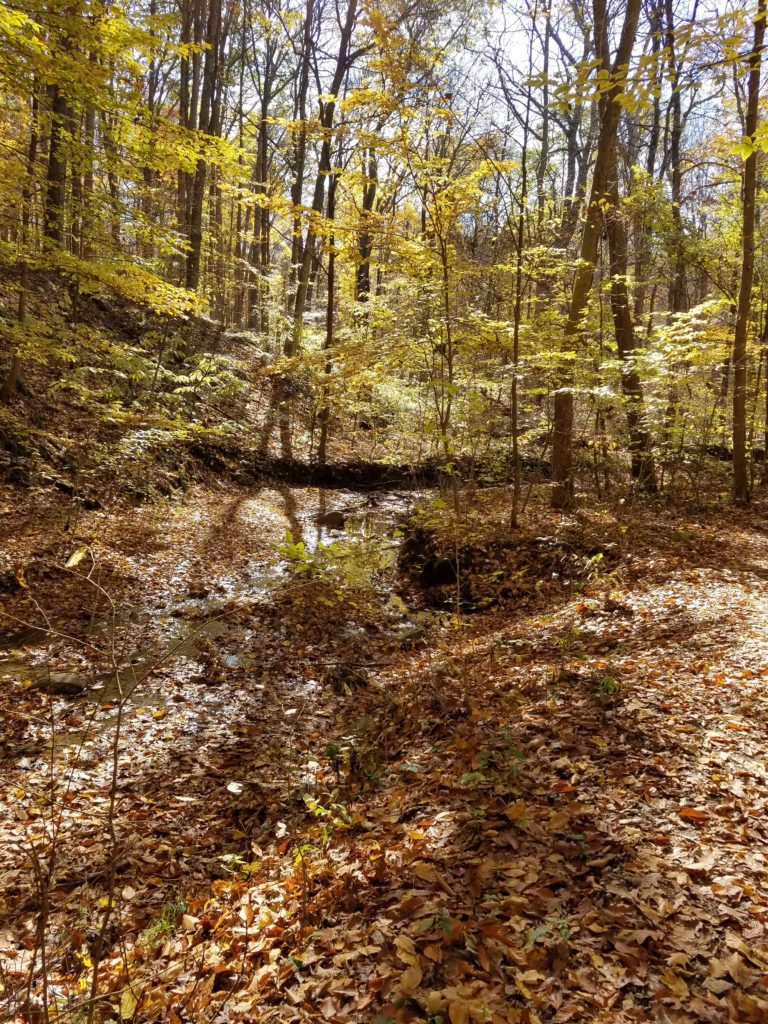


There are a few places where the trail connects with flowing water sources along the Slate Run Creek. One such area is where the trail connects with the Sugar Maple Trail. This loop connects to various other locations around the park.
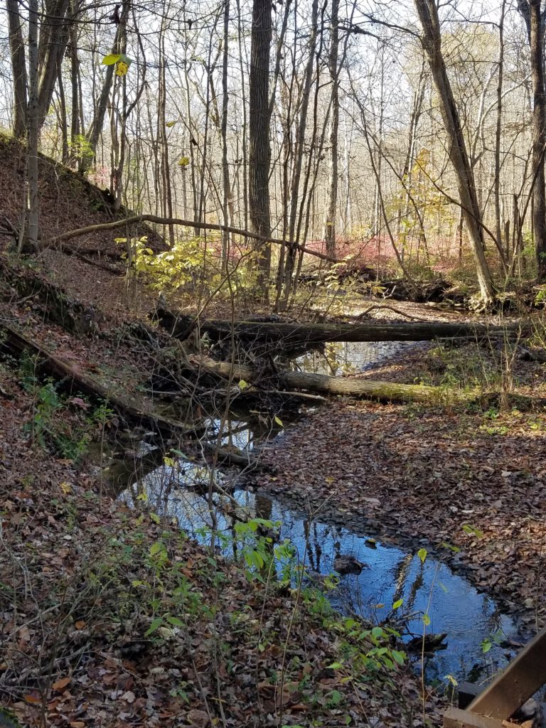


There are some steeper areas that switchback in sections of this trail, so be sure to wear sturdy shoes or hiking boots. But this is one that is certainly a not-to-miss experience.
Kokomo Wetland Trail
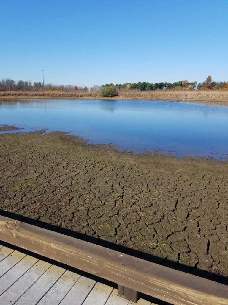
The Kokomo Wetland Trail is beautiful in its own right. This 1.5 mile grassy trail features a section of boardwalk through a portion of the parks wetland area. There is parking near the entrance of the wetland section of the park. Refer to the park map and address as this area is not accessible from the park’s main entranance without a few miles of hiking.
While on the trail, you will see a lot of fields and meadows which surround the wetlands. There are also informational bulletins that educate visitors about wetland ecology.


Enjoy Your Visit!
Hopefully you are able to experience this beautiful park! It’s well worth the effort to get to and explore. Perhaps we’ll see you on the trails this spring! Before you go, here’s another Metro Park that we recommend that isn’t too far up the road. Happy exploring!
